Travel Guide of Marin County in United States by Influencers and Travelers
Marin County is a county located in the northwestern part of the San Francisco Bay Area of the U.S. state of California. As of the 2020 census, the population was 262,231. Its county seat and largest city is San Rafael.
The Best Things to Do and Visit in Marin County
TRAVELERS TOP 10 :
- Point Reyes National Seashore
- Golden Gate Bridge
- San Francisco
- Mount Tamalpais State Park
- Napa Valley
- Muir Woods National Monument
- Napa
- Transamerica Pyramid
- Seal Rocks
- Sunset District
1 - Point Reyes National Seashore
Point Reyes National Seashore is a 71,028-acre park preserve located on the Point Reyes Peninsula in Marin County, California. As a national seashore, it is maintained by the US National Park Service as an important nature preserve.
Learn more Book this experience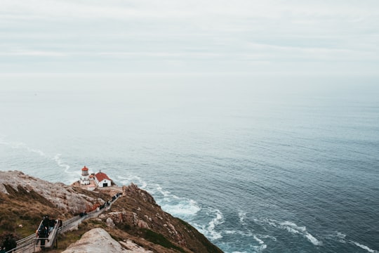

2 - Golden Gate Bridge
The Golden Gate Bridge is a suspension bridge spanning the Golden Gate, the one-mile-wide strait connecting San Francisco Bay and the Pacific Ocean.
Learn more Book this experience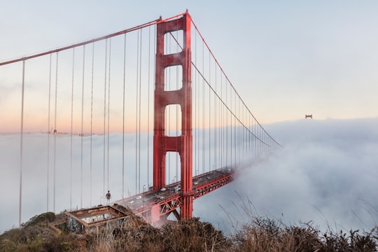
3 - San Francisco
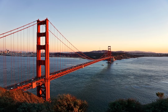
San Francisco, officially the City and County of San Francisco and colloquially known as SF, San Fran, Frisco, or The City, is the cultural, commercial, and financial center of Northern California.
Learn more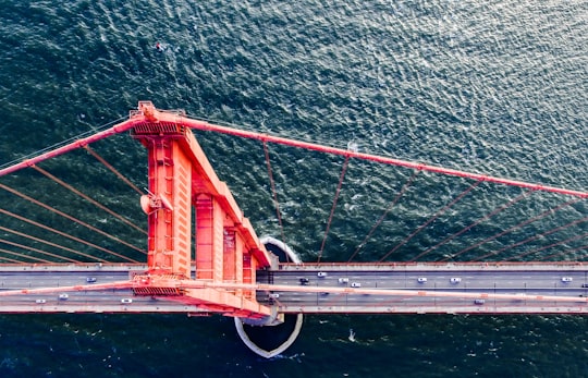

4 - Mount Tamalpais State Park
Mount Tamalpais State Park is a California state park, located in Marin County, California. The primary feature of the park is the 2,571 feet Mount Tamalpais. The park contains mostly redwood and oak forests. The mountain itself covers around 25,000 acres.
Learn more Book this experience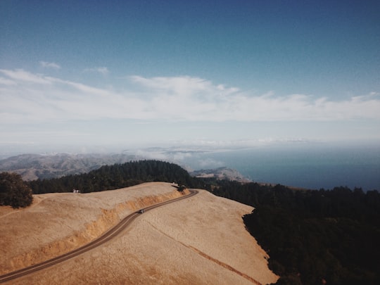

5 - Napa Valley
Bothe-Napa Valley State Park is a state park of California in the United States. Located in the Napa Valley, it contains the farthest inland coast redwoods in a California state park. The 1,991-acre park was established in 1960.
Learn more Book this experience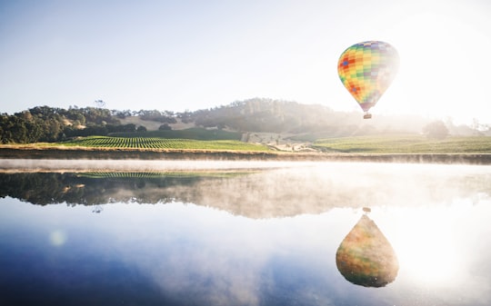
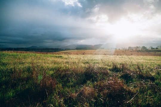
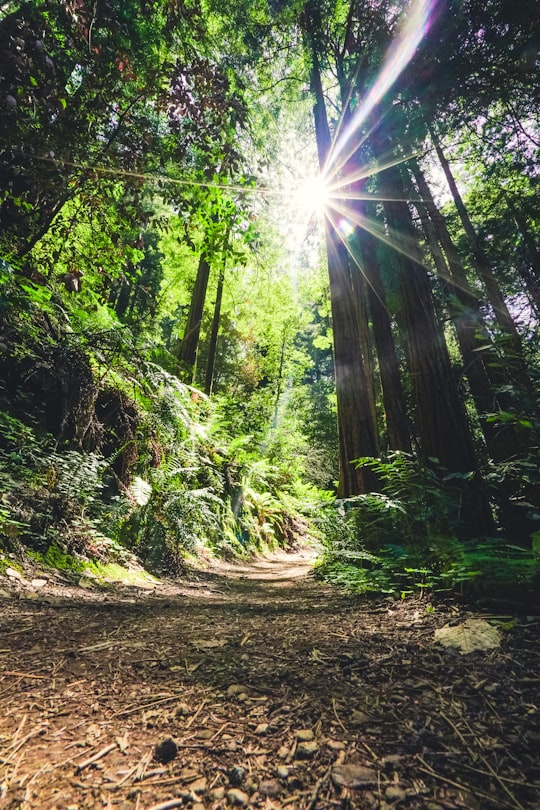
6 - Muir Woods National Monument
Muir Woods National Monument is a United States National Monument managed by the National Park Service, named after naturalist John Muir. It is located on Mount Tamalpais near the Pacific coast, in southwestern Marin County, California. It is part of the Golden Gate National Recreation Area, and is 12 miles north of San Francisco.
Learn more Book this experience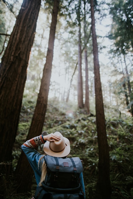
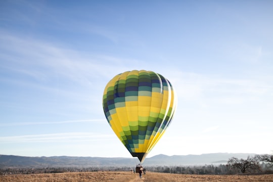
7 - Napa
Napa is the largest city and county seat of Napa County and a principal city of Wine Country in Northern California. Located in the North Bay region of the Bay Area, the city had a population of 77,480 as of the end of 2021.
Learn more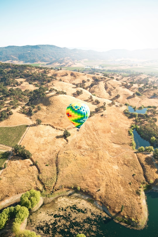
8 - Transamerica Pyramid
The Transamerica Pyramid at 600 Montgomery Street between Clay and Washington Streets in the Financial District of San Francisco, California, United States, is a 48-story futurist building and the second-tallest skyscraper in the San Francisco skyline.
Learn more Book this experience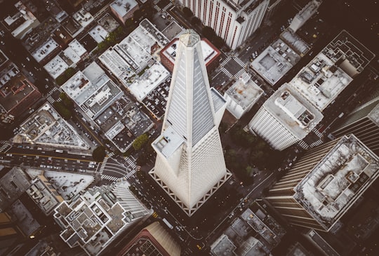
9 - Seal Rocks
Seal Rock is a group of small rock formation islands in the Lands End area of the Outer Richmond District in western San Francisco, California.
Learn more Book this experience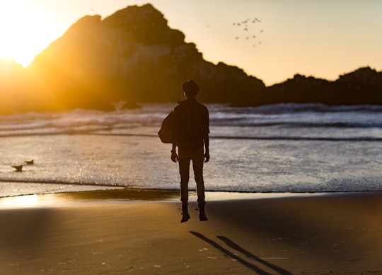
10 - Sunset District
The Sunset District is a neighborhood located in the southwest quadrant of San Francisco, California, United States.
Learn more
11 - Twin Peaks
The Twin Peaks are two prominent hills with an elevation of about 925 feet located near the geographic center of San Francisco, California. Only 928 foot Mount Davidson is higher within the city.
Learn more Book this experience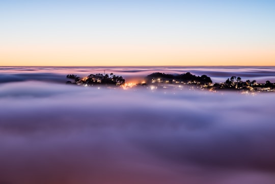
12 - San Francisco cable car system
The San Francisco cable car system is the world's last manually operated cable car system. An icon of San Francisco, the cable car system forms part of the intermodal urban transport network operated by the San Francisco Municipal Railway.
Learn more Book this experience
13 - Great Highway
Great Smoky Mountains National Park is an American national park in the southeastern United States, with parts in Tennessee and North Carolina.
Learn more Book this experience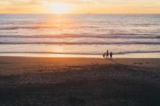
14 - Treasure Island
Treasure Island is a city in Pinellas County, Florida, United States. It is situated on a barrier island in the Gulf of Mexico. As of the 2010 census, the city population was 6,705.
Learn more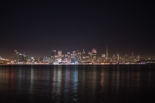
15 - Sonoma
Sonoma is a city in Sonoma County, California, located in the North Bay region of the San Francisco Bay Area. Sonoma is one of the principal cities of California's Wine Country and the center of the Sonoma Valley AVA.
Learn more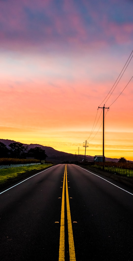
16 - Blue Park
The Blue Ridge Parkway is a National Parkway and All-American Road in the United States, noted for its scenic beauty. The parkway, which is America's longest linear park, runs for 469 miles through 29 Virginia and North Carolina counties, linking Shenandoah National Park to Great Smoky Mountains National Park.
Learn more Book this experience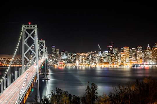
17 - Point Reyes Shipwrecks
Learn more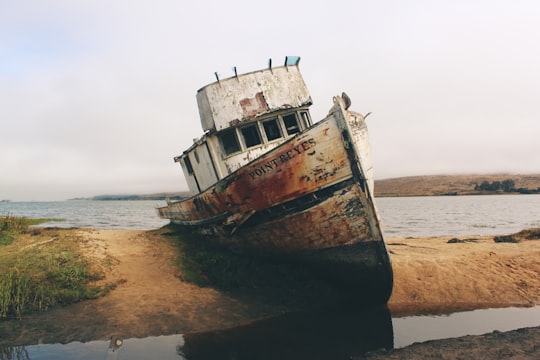
18 - Battery Spencer
Learn more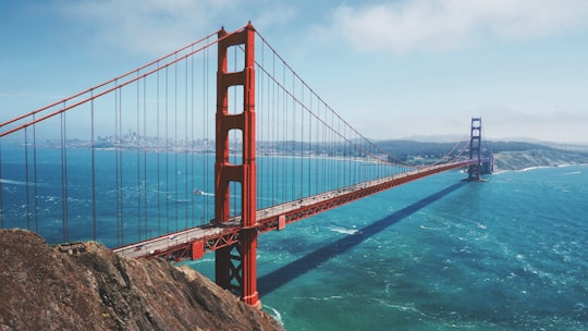
19 - Bernal Heights Park
Learn more
Disover the best Instagram Spots around Marin County here
Book Tours and Activities in Marin County
Discover the best tours and activities around Marin County, United States and book your travel experience today with our booking partners
Pictures and Stories of Marin County from Influencers
Picture from Bill Christian who have traveled to Marin County

- Driving home one night and stopped to take a photo. ...click to read more
- Experienced by @Bill Christian | ©Unsplash
Plan your trip in Marin County with AI 🤖 🗺
Roadtrips.ai is a AI powered trip planner that you can use to generate a customized trip itinerary for any destination in United States in just one clickJust write your activities preferences, budget and number of days travelling and our artificial intelligence will do the rest for you
👉 Use the AI Trip Planner
Why should you visit Marin County ?
Travel to Marin County if you like:
🌉 BridgeWhere to Stay in Marin County
Discover the best hotels around Marin County, United States and book your stay today with our booking partner booking.com
More Travel spots to explore around Marin County
Click on the pictures to learn more about the places and to get directions
Discover more travel spots to explore around Marin County
🌉 Bridge spotsTravel map of Marin County
Explore popular touristic places around Marin County